
Arctic Vessel Monitoring and Geofencing
Enhance Your Domain Awareness and Management
At this time we are making this tool available to government agencies and Alaska Native tribes who helped us design it. Anyone can explore its functionality to learn more about it but your geofences will not become active. In the future we hope to expand its availability to others.
As maritime activity in the Arctic increases so does the potential for adverse environmental and safety impacts, and many of the tools used in other established maritime regions around the world (buoys, lighthouses, vessel traffic services) are not well-suited for the Arctic environment. Fortunately, the relatively recent introduction and application of Automatic Identification System (AIS) technology for tracking and communicating with ships has enhanced the ability to assess, monitor, and take action to improve vessel traffic management and maritime safety in the Arctic.
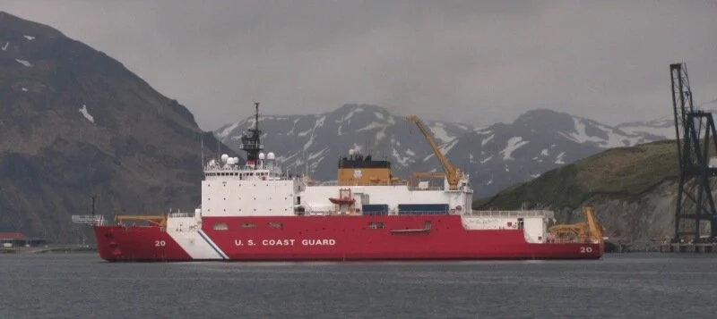
Geofencing, one of applications of AIS technology, has proved useful in alerting maritime domain managers to vessels that have entered designated sensitive or no-go areas, and to vessels behaving abnormally. Despite the vast area of the Arctic region, domain managers are alerted to these situations in near real time, allowing for quicker (and more effective) response times.

Real-time Information About Vessels in Your Area
Because geofencing relies on AIS signals from vessels, it also requires access to a vessel tracking and display system. Not all organizations can maintain access to their own vessel tracking systems, and so a consortium has offered to host geofences for their partners through their own tracking system.
This website is your portal to geofencing. By walking through the system on the “Create a Geofence” page, you’ll choose or design your own zones of interest and specify how you would like to be alerted to activity within those zones.
Once your geofence is designed, your request will be sent to the Marine Exchange of Alaska who will activate your geofence.
How Geofencing Makes an Impact

Protect Subsistence
Geofences along coastlines of interest help create an early warning system for Alaska Native hunters who risk being rocked and swamped by the wakes of much larger passing vessels.

Respond Quickly
Be the first to know when the unexpected happens. Real-time alerts arrive via text message and email so that when critical minutes count, you have the information to take action.

Minimize Wildlife Stressors
Marine animals tend to congregate on shorelines and ice edges. Geofences can help establish buffer areas to minimize wildlife-vessel interactions.
Encourage Compliance
As more international traffic and new users come into Alaska’s maritime environment, more information for all maritime stakeholders can keep Alaska’s waters safe and healthy.


